|
Updated: @
03/08/2026 07:30 - next update at 00:00
|
| Summary / Temperature |
Wind |
Rain/Melted Snow |
Cloud Level
|
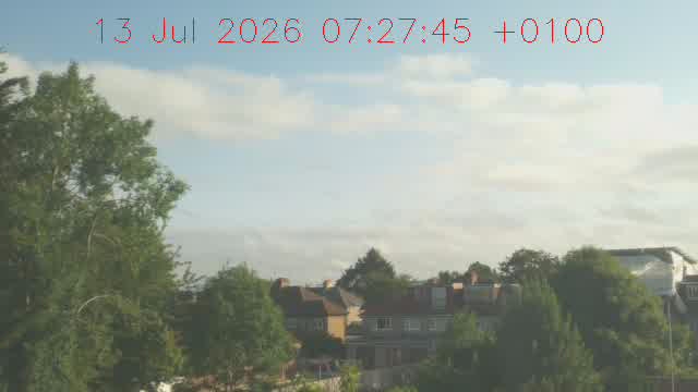
RaspberryPi5 webcam
|
18.5°C

---
|

|
Feels like:
18.5°C
24-hr
difference
2.5°C |
| LOCALLY: |
Today |
Yesterday |
| High: |
19.7°C
00:00 |
28.3°C
13:59 |
| Low: |
15.4°C
05:48 |
13.1°C
04:39 |
|
|


|
E
4 mph
Gust:
6 mph
|
|
Light Breeze
|
| 60-Min Avg: |
2 mph |
| 120-Min Avg: |
2 mph |
| Max Gust: |
15 mph
00:50
|
| Month: |
18 mph 2 Aug
|
|
| Today: |
0.0 mm
|
| Yesterday: |
0.0 mm
|
Last
Rain: |
30/7/2026
23:25 |
| August: |
0.0 mm
|
| Last 7 Days: |
0.2 mm |
| Rain Season:1 |
344.3 mm
|
| Rain Days: |
86 in 2026
|
|
4 days since last rain. |
|
|
| Barometer ( hPa) |
Humidity/Dew Point |
Moon |
| Current: |
1011.3 hPa
|
| 1-Hr Trend: |
Steady
|
| 3-Hr Trend: |
Steady |
|
High:
1013.3 | Low:
1011.2
|
|
| Humidity: |
78 %
 |
| Humidex: |
22.2°C
|
| Dew Point: |
14.6°C
|
| Wetbulb: |
16.2°C
|
|
|
Waning Gibbous |

|
79%
Illuminated
|
|
| Current UV Index |
Current Solar Energy |
|
0.5
Low
|
|
High: 0.5 @ 07:21
|
| Time to Burn:
224 Mins
|
|
| Energy:
209 W/m2
(87 %)
|
| High:
209 at
07:29 |
| Feels like:
22.2°C
|
|
|
Heat Index |
Cooling Degree Days |
Sun |
| Current: |
18.5°C
|
| Today: |
19.7°C
00:00
|
| Yesterday: |
28.0°C |
| Last Week: |
34.9°C |
| Record: |
43.9°C
01/01/1970
|
|
| Today: |
0.1 |
| August: |
4.3 |
| 2026 to Date: |
219.5 |
|
Heating Degree Days |
| 2026 to Date: |
1430.0 |
|
Daylight:

15 hr 19 min
3 min 13 sec Shorter
Than Yesterday
|
|
| Almanac |
Irrigation Index5 |
Station All Time Records |
Sunshine Hours6 |
| Sunrise: |
05:28 |
| Sunset: |
20:47 |
| Moonrise: |
22:17 |
| Moonset: |
11:00 |
| Full Moon: |
29 July 2026 |
| New Moon: |
17:37 UTC 12 August 2026 |
|
| Updated at Midnight |
| Current: |
1.40 mm
|
| 7-Days Rain: |
0.20 mm
|
| 7-Days ET: |
31.20 mm
|
|
7-Day: |
-31 mm |
|
August: |
-11.6 mm |
| Outside Now |
| Air Density: |
1.20 kg/m3 |
|
| HIGHS: |
LOWS: |
39.6°C
19/07/2022
|
-10.7°C
12/11/2004
|
| 12 hr Daytime Records |
|
35.2 C on: 25 Jul 2019 |
-4.9C on: 17 Dec 2010 |
| 12 hr Night-time Records |
|
26.2C on: 26 Jul 2019 |
-7.1C on: 18 Dec 2010 |
|
| TODAY: |
|
|
| |
| Cloud Conditions: |
|
| Sun Yesterday: |
|
|
| Updated: |
|
|


